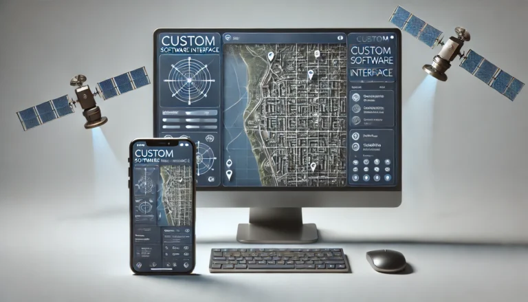
Spatial app development services specialize in building applications that use geolocation and mapping technologies to interact with physical spaces. These apps allow users to access location-based data, visualize spatial information, and perform real-time tracking. By coding custom algorithms and integrating mapping APIs, spatial apps deliver solutions for industries like logistics, real estate, and urban planning. Whether it’s optimizing delivery routes, tracking assets, or providing location-based services, spatial apps bring precision and efficiency to real-world applications through smart coding and geolocation technology.
Our Expertise

Custom GIS Solutions
Our team develops GIS applications that enable users to interact with spatial data intuitively. We use advanced tools and frameworks like Leaflet, OpenLayers, and Mapbox to create user-friendly interfaces that make complex spatial data accessible to everyone.
Web and Mobile Mapping Applications
Whether you need a robust web application or a mobile solution, we have the expertise to build interactive maps that work seamlessly across all devices. Our applications provide real-time location tracking, routing, and geofencing features that enhance decision-making processes.

Geospatial Database Management
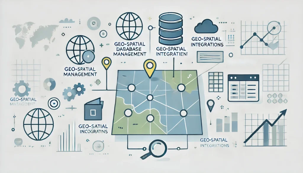
Our team is skilled in managing complex geospatial databases, including PostgreSQL with PostGIS extensions. We ensure that your data is stored efficiently, processed quickly, and is always accessible when you need it.
Spatial Data Integration
We excel at integrating diverse data sources into cohesive spatial data infrastructures, allowing your business to visualize, analyze, and manage location data effectively. Our solutions are tailored to meet the unique needs of each client, from small startups to large enterprises.
Spatial Data Analysis and Visualization
We help organizations turn raw location data into actionable insights. Our advanced spatial analysis and visualization techniques allow you to understand patterns, trends, and relationships within your data, enabling more informed decision-making.
